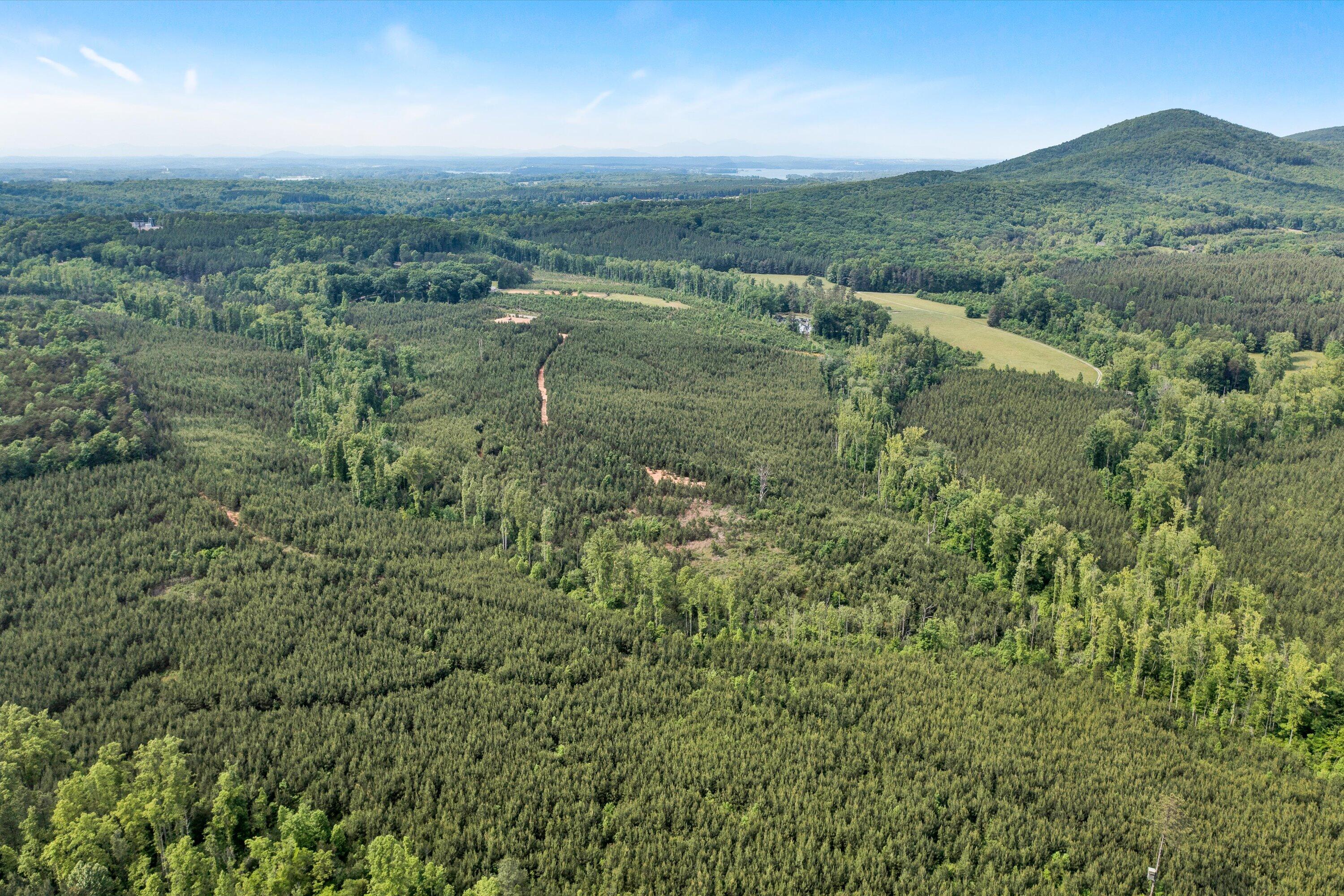
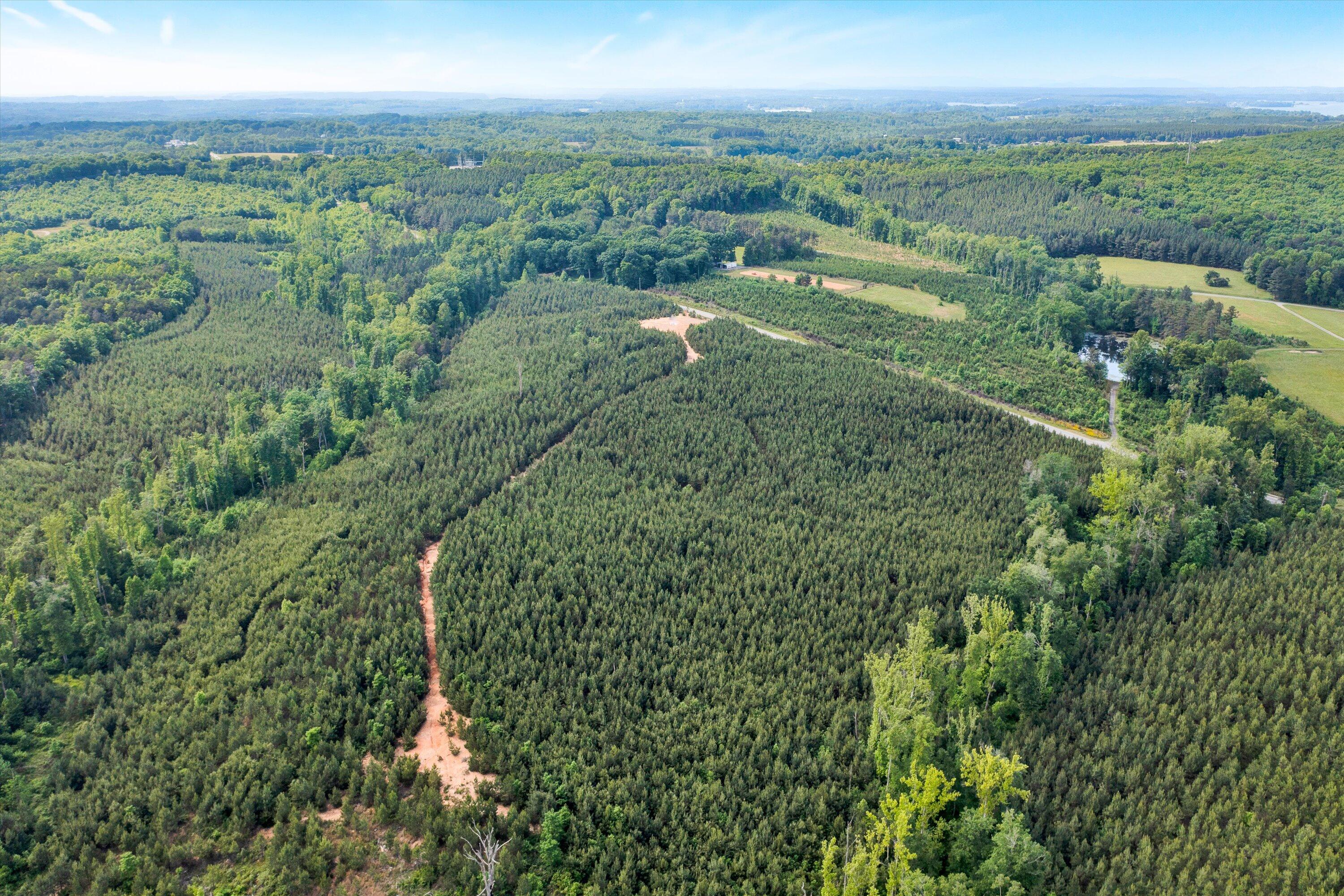
Aerial view of densely wooded land with a winding dirt track and forested hills beyond.
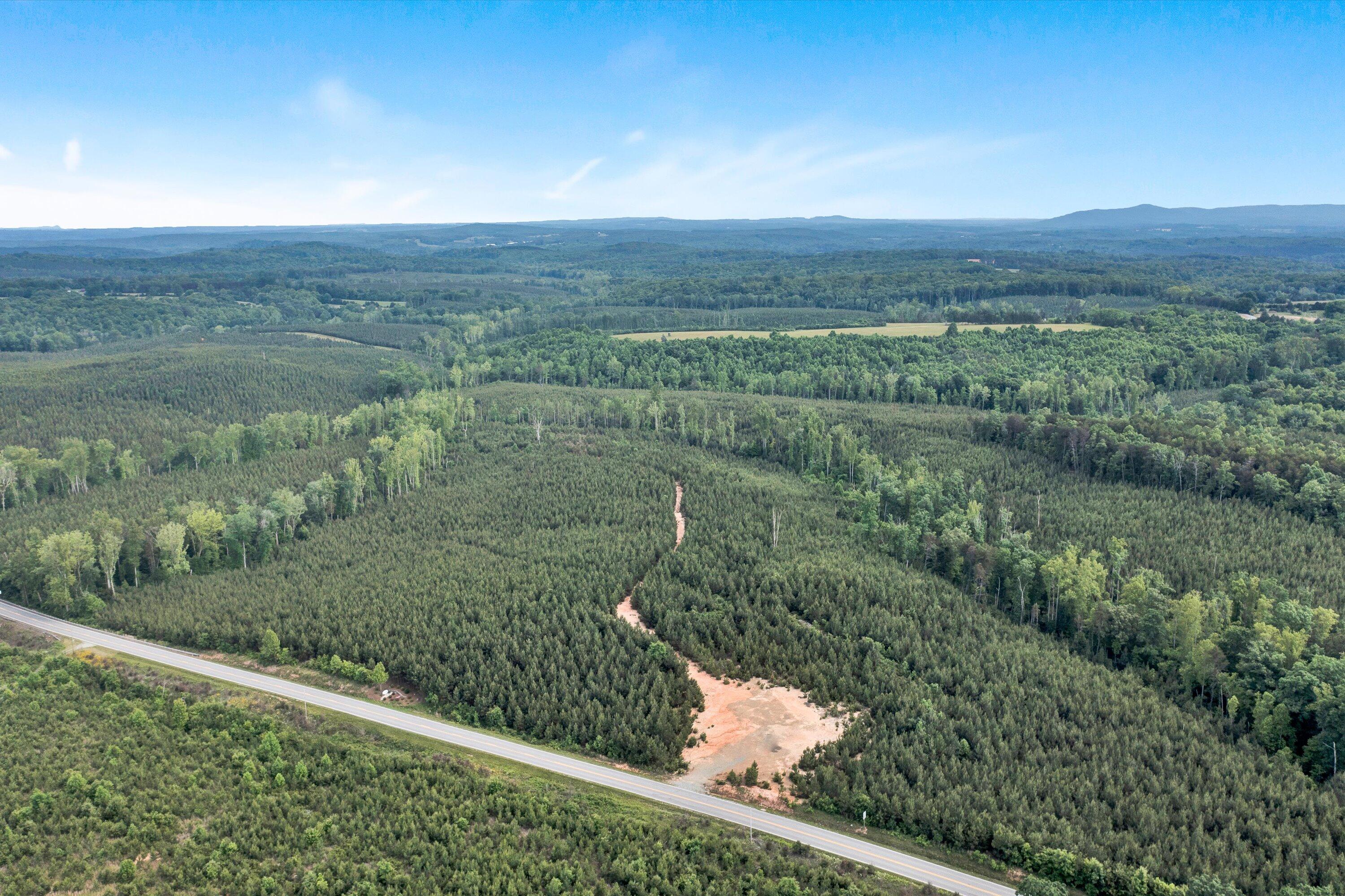
Aerial view of wooded land with a cleared dirt access track and paved road frontage.
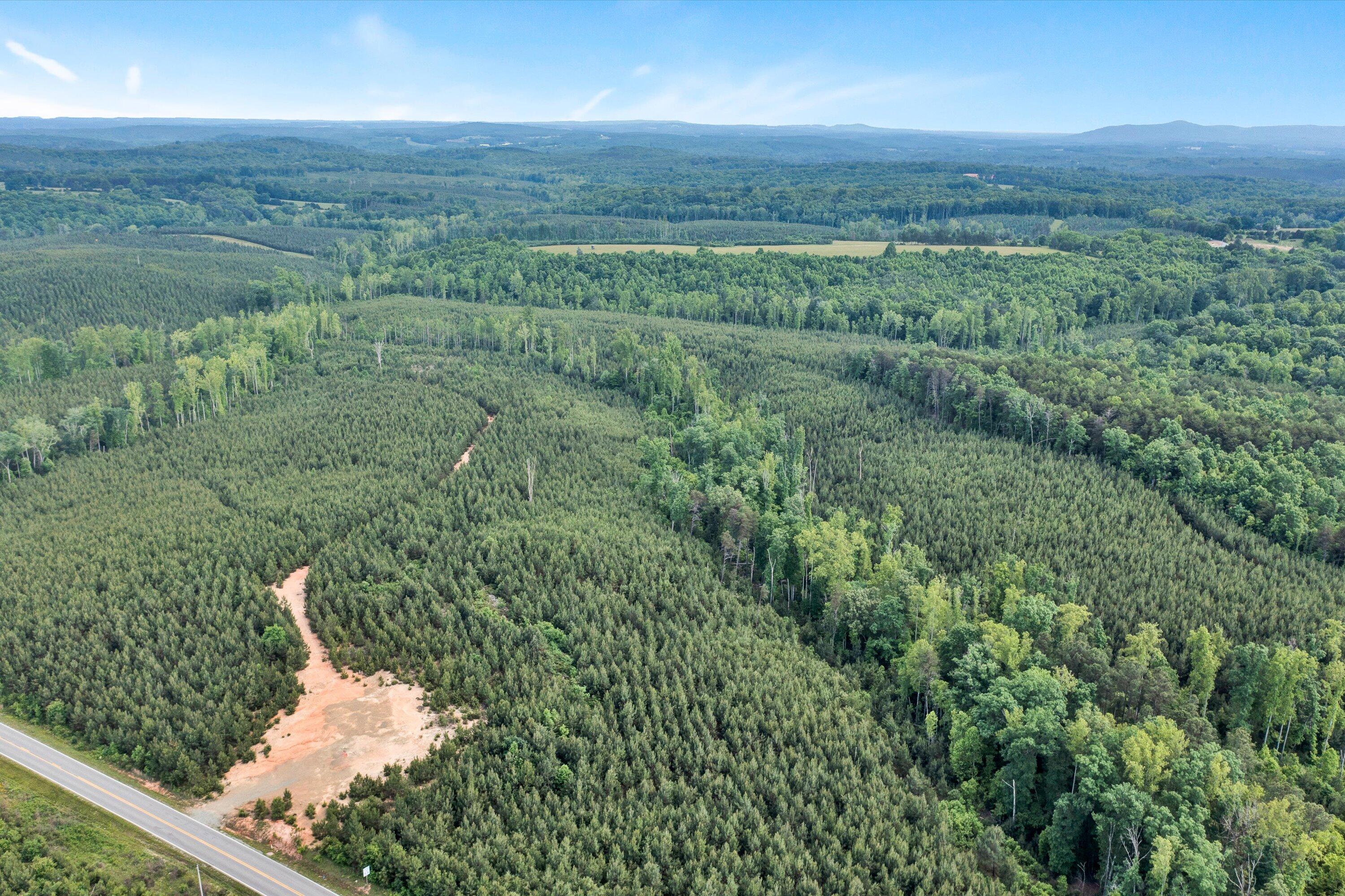
Aerial view of wooded land with a dirt entrance opening onto a paved road.
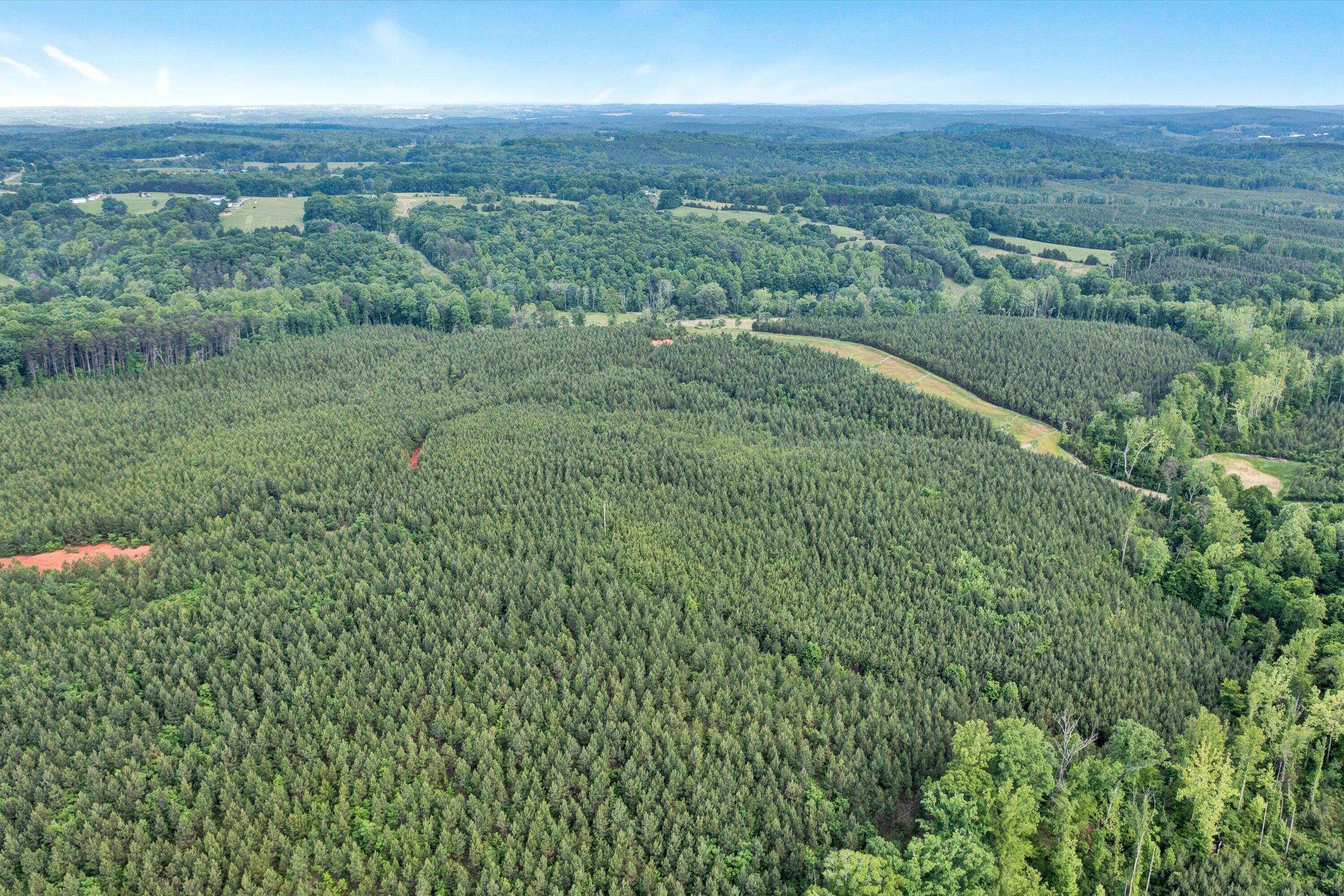
Aerial view of a densely planted pine tract surrounded by woodland and open fields.
Aerial view of a wooded tract with dirt access paths, nearby fields, and a small pond.
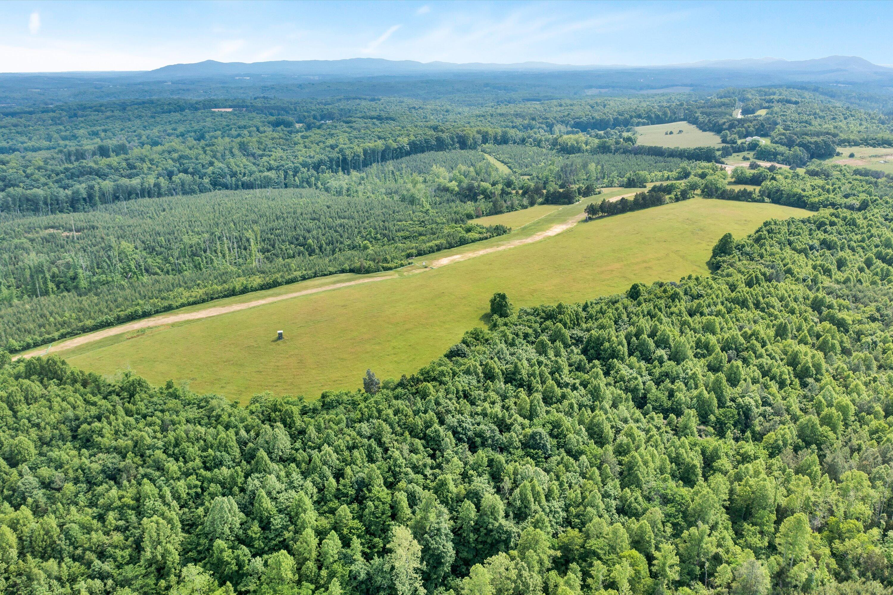
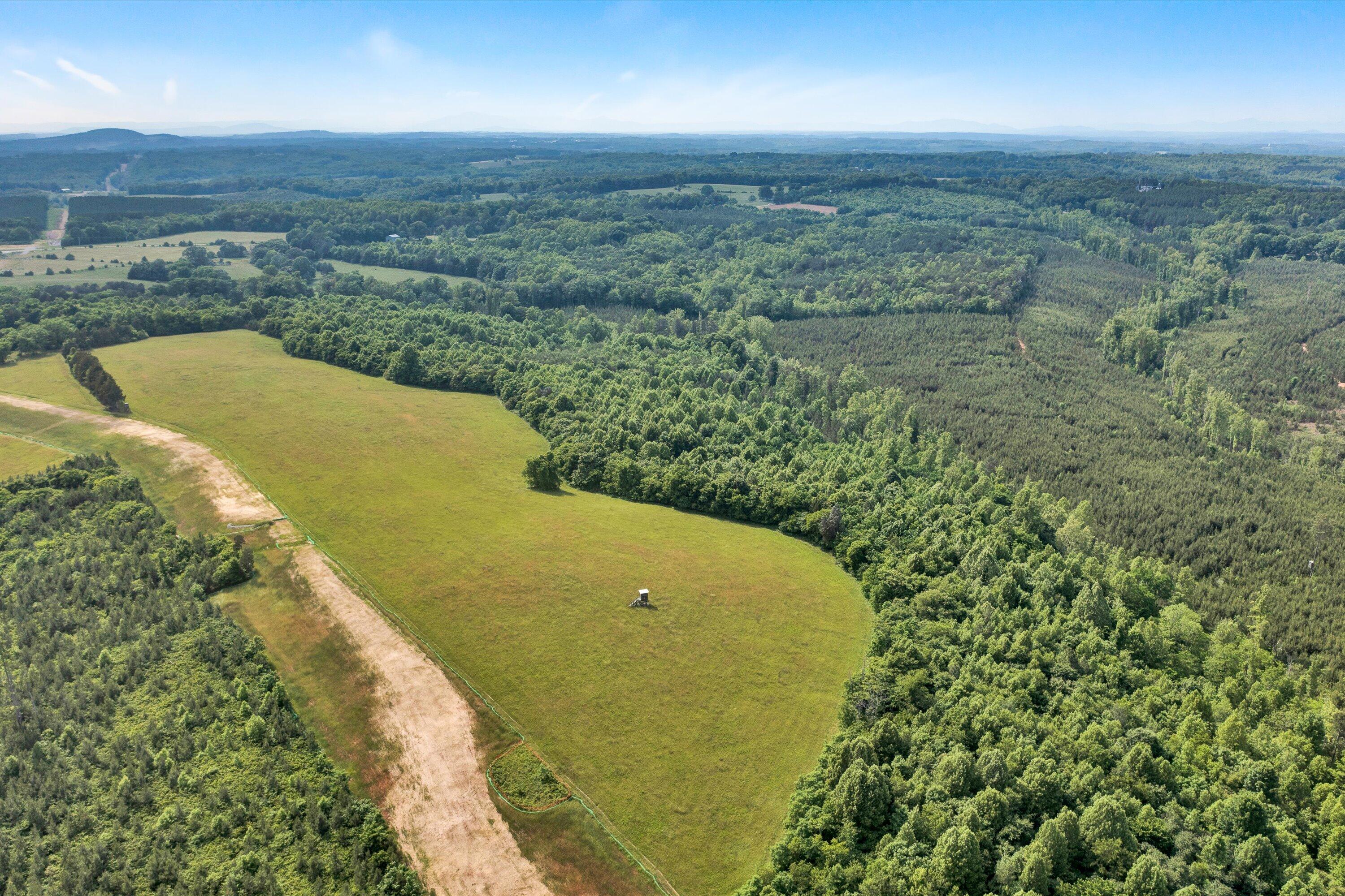
Aerial view of a grassy field surrounded by forest, with a dirt track and distant mountain ridges.
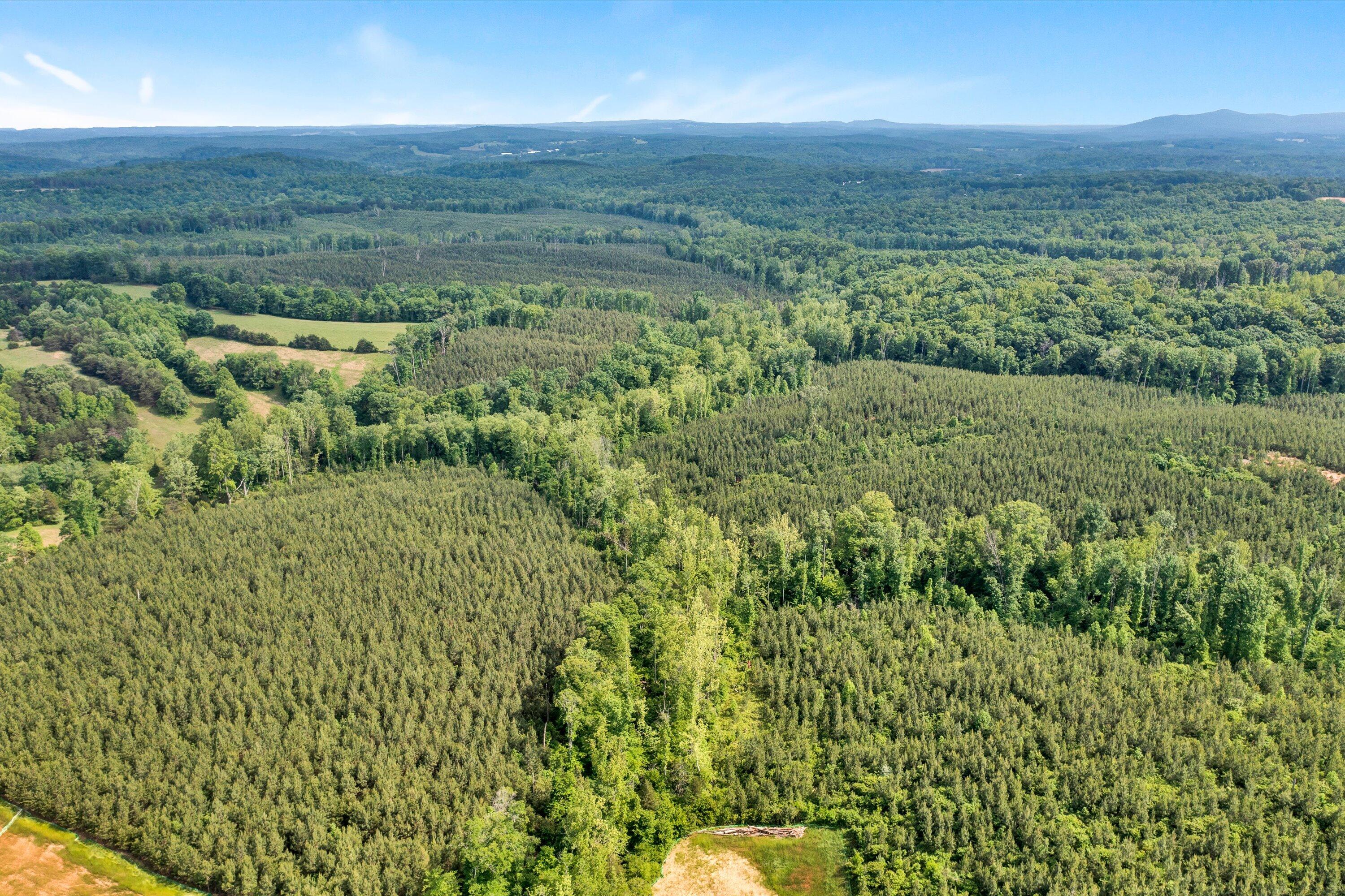
Aerial view of wooded land with open fields and distant ridgelines.
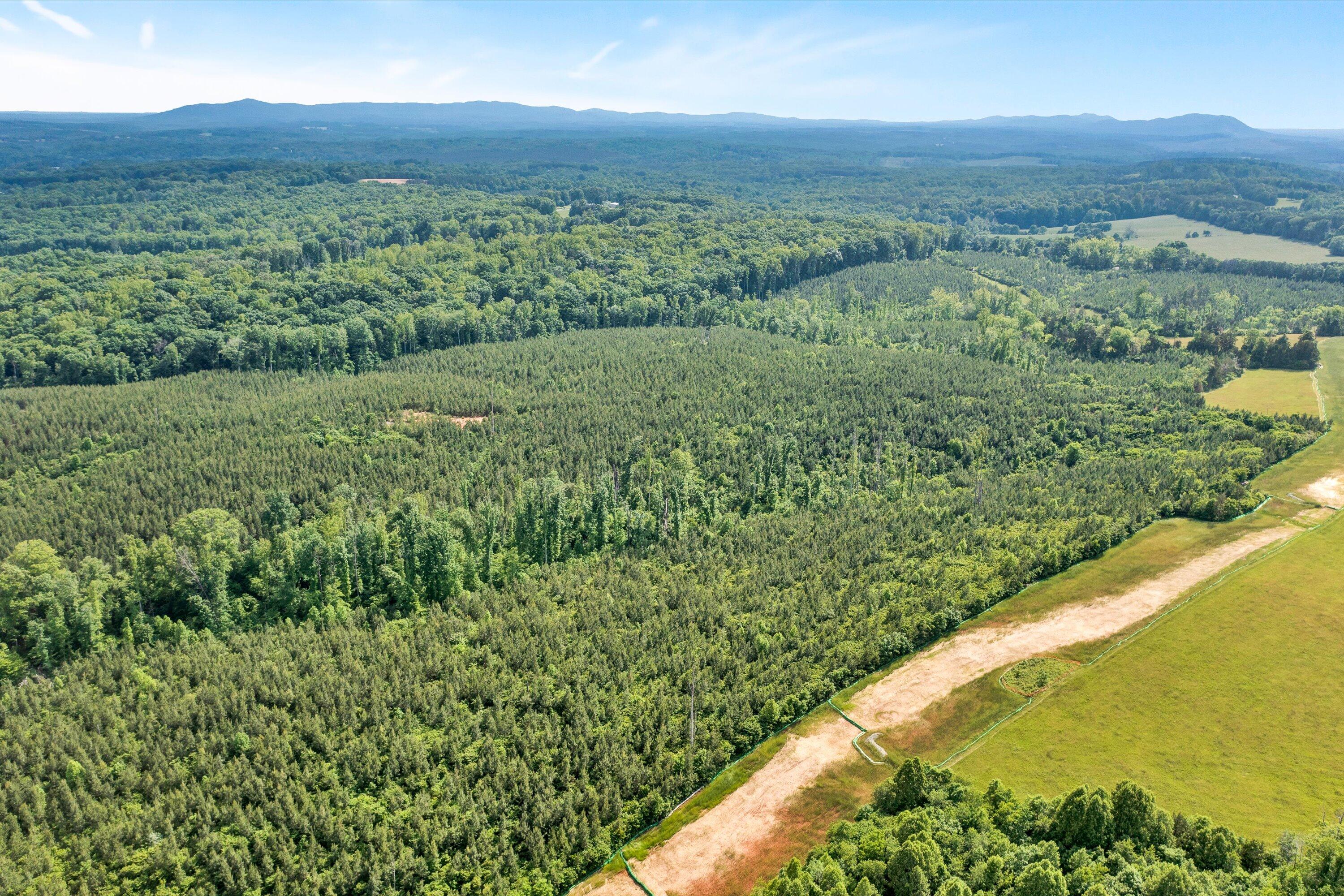
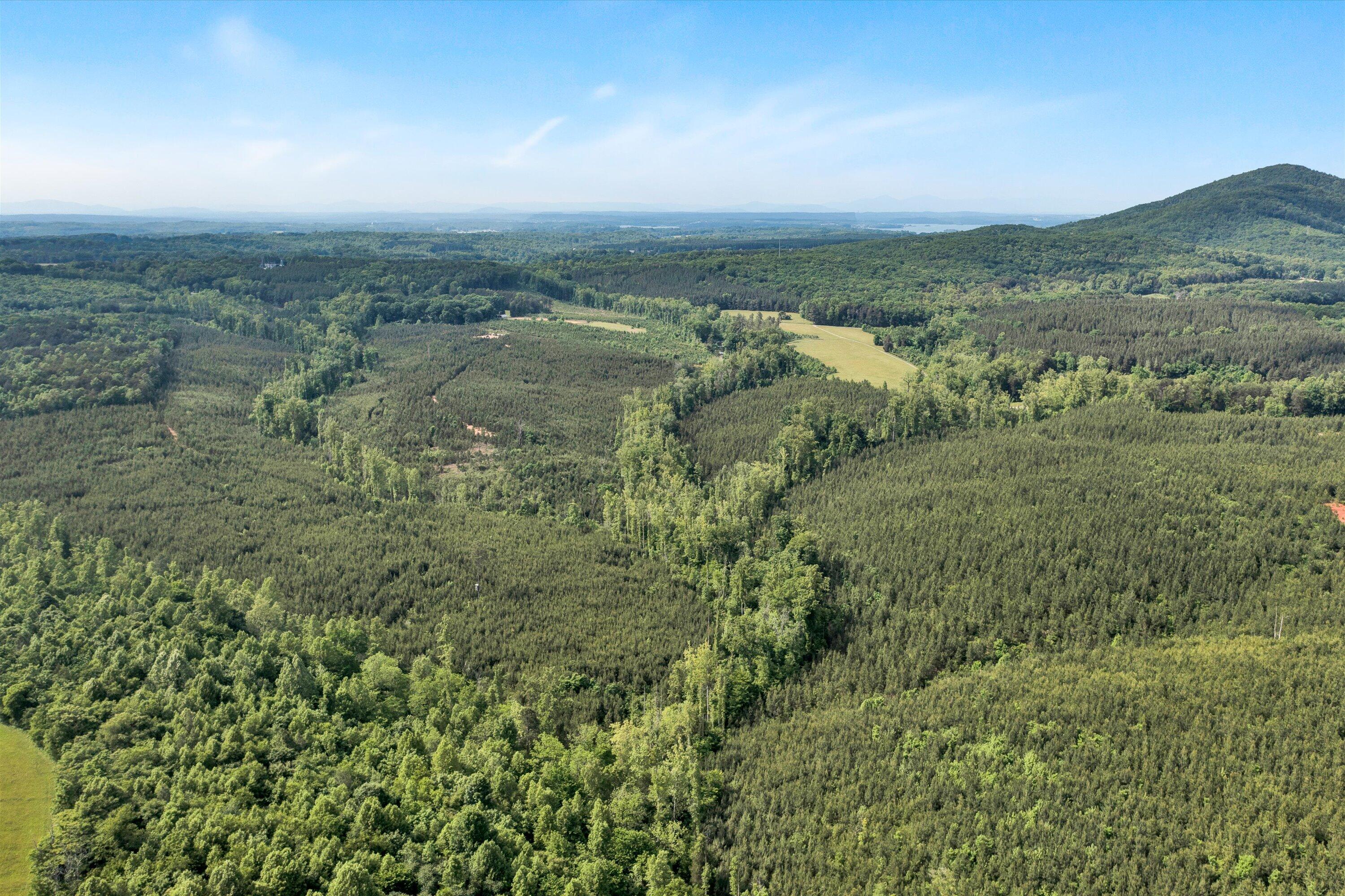
Aerial view of wooded acreage beside a cleared field, with distant mountain ridges.
Aerial view of a grassy pasture bordered by dense woods, with a dirt track and distant hills.
Aerial view of wooded acreage with a grassy clearing and rolling hills in the distance.
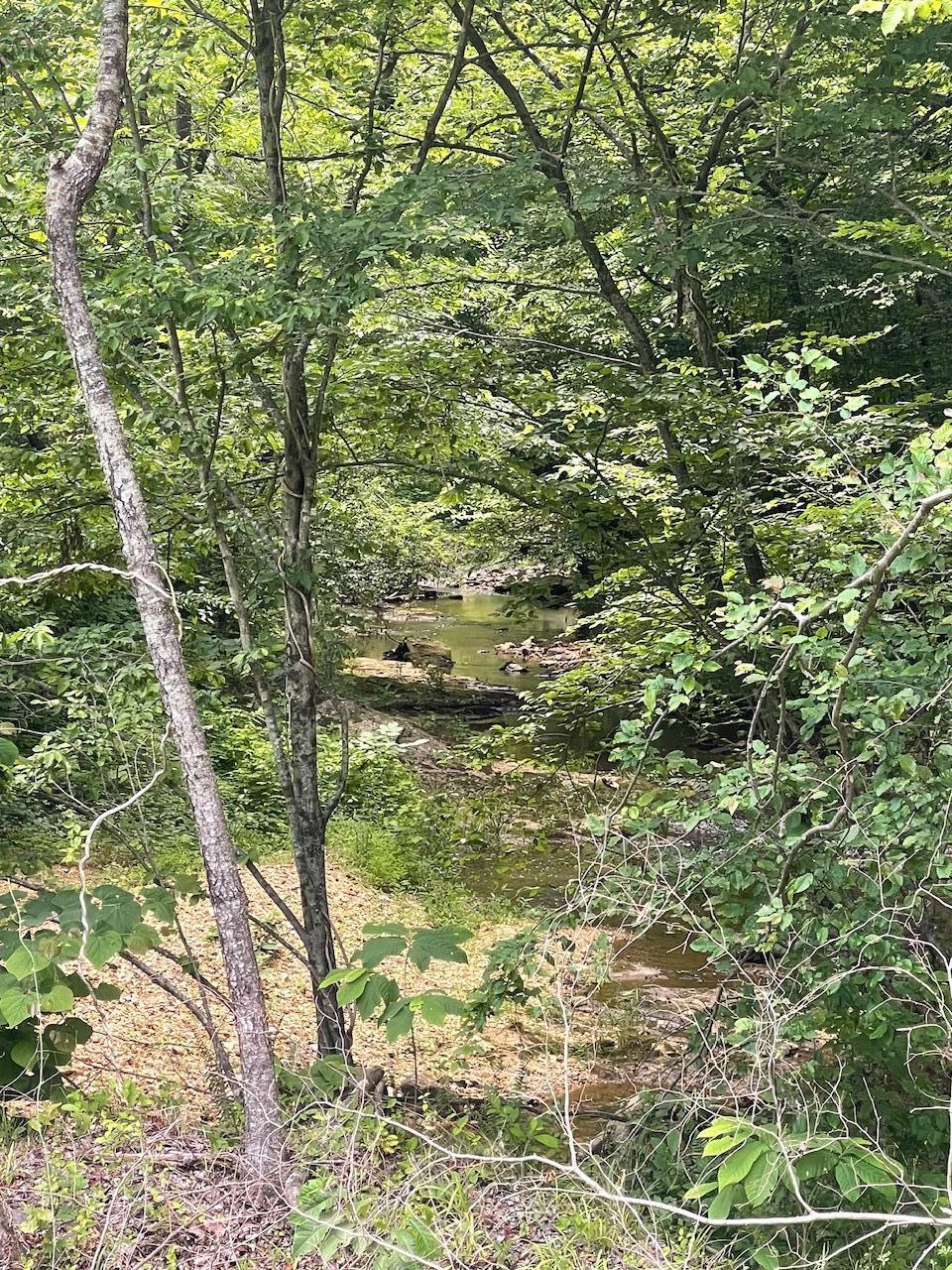
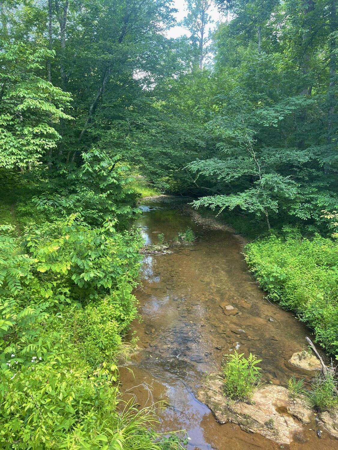
Wooded creek with shallow water and rocks winding between leafy trees.
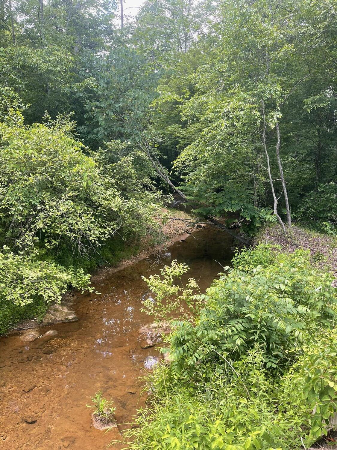
A shallow rocky creek winds through dense green woodland.
Shallow rocky creek winding through dense summer woodland.
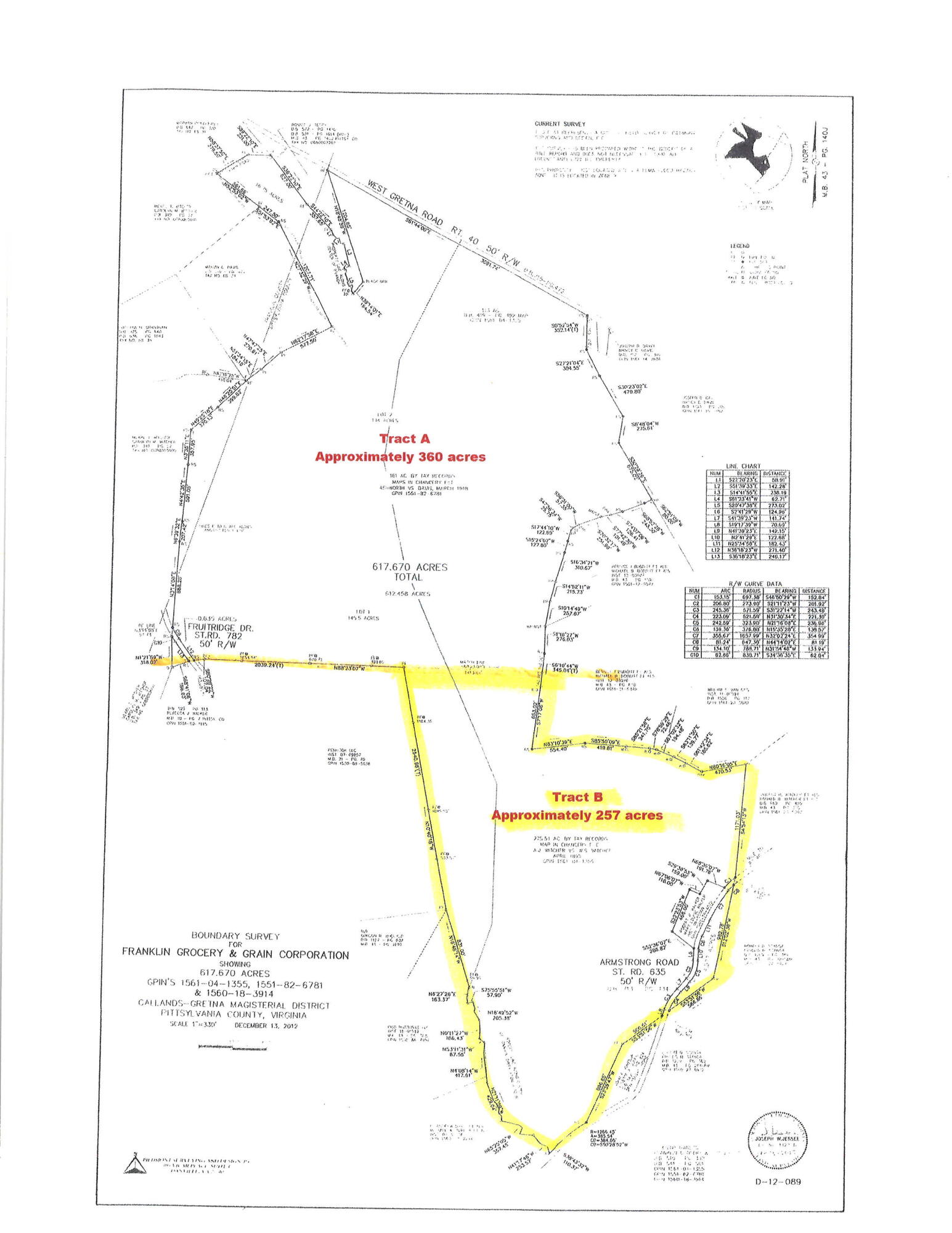
Survey plat with Tract B, approximately 257 acres, outlined in yellow.
SEE ALL PHOTOS
Aerial view of densely wooded land with a winding dirt track and forested hills beyond.
Aerial view of wooded land with a cleared dirt access track and paved road frontage.
Aerial view of wooded land with a dirt entrance opening onto a paved road.
Aerial view of a densely planted pine tract surrounded by woodland and open fields.
Aerial view of a wooded tract with dirt access paths, nearby fields, and a small pond.
Aerial view of a grassy field surrounded by forest, with a dirt track and distant mountain ridges.
Aerial view of wooded land with open fields and distant ridgelines.
Aerial view of wooded acreage beside a cleared field, with distant mountain ridges.
Aerial view of a grassy pasture bordered by dense woods, with a dirt track and distant hills.
Aerial view of wooded acreage with a grassy clearing and rolling hills in the distance.
Wooded creek with shallow water and rocks winding between leafy trees.
A shallow rocky creek winds through dense green woodland.
Shallow rocky creek winding through dense summer woodland.
Survey plat with Tract B, approximately 257 acres, outlined in yellow.
Sold

Tract B W Gretna RD

Tract B W Gretna RD, Penhook, VA 24137

$508,200
Rarely does a property like this become available. Large acreage, outstanding location, abundance of wildlife, bold stream and investment potential. Approximately 242-acre recreational tract near Smith Mountain Lake, just across the Franklin County line in Penhook. Property is well watered with Jonakin Creek running all the way through it. Outstanding hunting property and well managed timber. Purchaser responsibility to determine power availability and install well and septic. Part of a larger tract, to be surveyed off by the seller. Acreage estimated.
Debbie Shelton

Debbie Shelton

Features & Amenities

Area & Lot

  • Status Sold
  • Date Sold December 30, 2025
  • MLS® ID919329
  • TypeLand
  • NeighborhoodPenhook
  • Elementary SchoolOther - See Remarks
  • Middle SchoolOther - See Remarks
  • High SchoolOther - See Remarks
  • School District0

Exterior

  • water SourcePrivate Well
  • lot featuresRolling Hills, Varied
  • sewerPrivate Septic

Financial

  • Sales Price$508,200
  • Real Estate Tax $2,231/yr
  • Zoning A-1
View Virtual Tour

Penhook

Explore

Receive Curated Property Insights

Stay ahead of the market with exclusive insights tailored to your goals. From hidden opportunities to strategic timing, Debbie Shelton delivers the knowledge you need to make confident, informed real estate decisions.

Follow Me on Instagram